The BirdCast team (and the extended team that includes our friends, enemies, families, and so on) spends a fair amount of time day dreaming about interesting patterns that we cannot necessarily explain but for which we can indulge in massive speculation! We like to think that we learn a little more every time we travel down such a rabbit hole (i.e., “predicting” this or that pattern) evaluating the occurrence of a particular species because of a particular meteorological or climatological scenario.
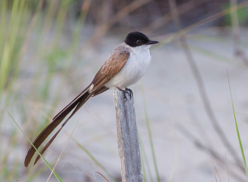
So, here we are: Fork-tailed Flycatcher. We are nearing a seasonal window during which many records of this spectacular vagrant have occurred. So, open those eyes, bird safely distant from everyone around you, and see if you can find one!
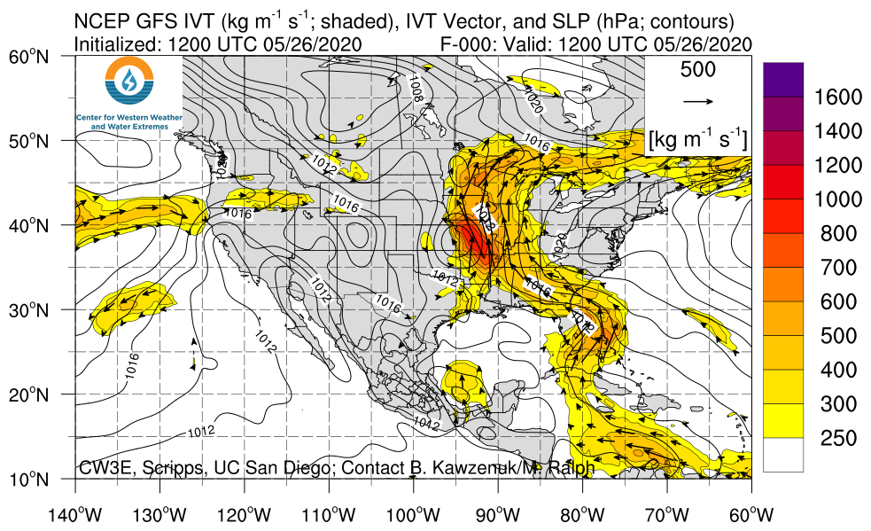
In advance of some (hopefully!) informed discussion in the coming weeks, we think the past week’s weather patterns in the southern Caribbean and northern South America looks favorable (let’s assume for the moment we know what that means for vagrant and out of range Fork-tailed Flycatchers) for this species to occur in the eastern US.

This image exemplifies a recent pattern and shows the winds aloft at approximately 5000 ft traveling along lines of constant pressure as well as the shaded integrated water vapor transport measures. Upshot: some connectivity of warm and moist tropical air between northern South America and the southern US. Is this a good scenario to beget Fork-tailed Flycatcher arrival? Will the arrival be somewhere between Florida and the upper Midwest?
Please go birding and let us know how you do (guaranteed it will fuel more speculation!), and visit often to see what bird-brained ideas arise (and arrive).


