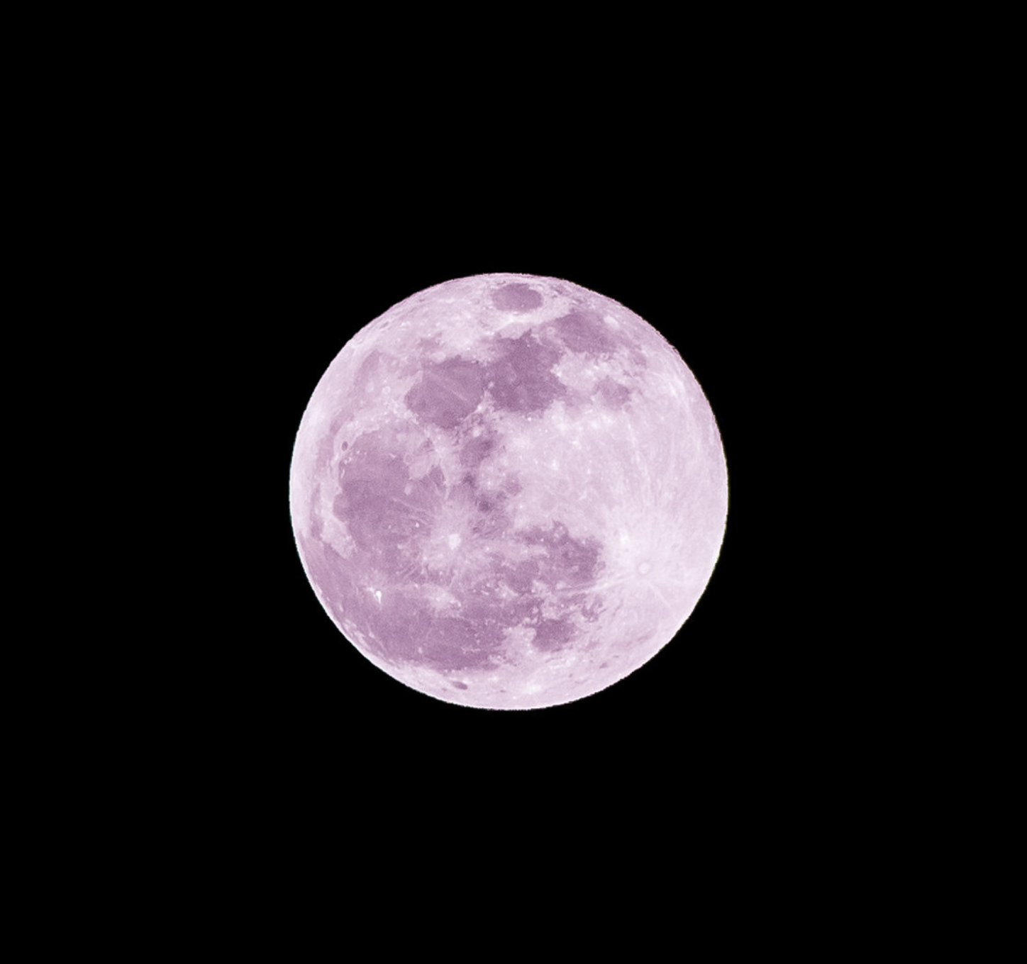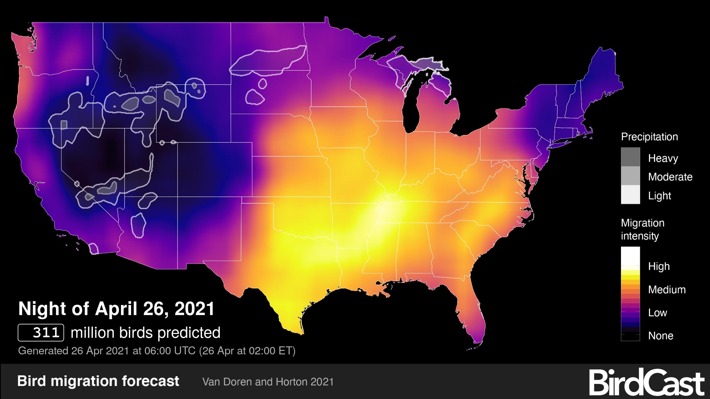
From a venerable resource, The Old Farmer’s Almanac: “Venture outside on the night of Monday, April 26, to catch a glimpse of April’s full Pink Moon. This full Moon—which is the first of two supermoons this year—will be visible after sunset and reach peak illumination at 11:33 P.M. EDT.“
Our understandings of seasonal movements of birds have developed and evolved dramatically with advancing technologies over the last century and a half. With new and better tools to enhance human powers of observation and data collection, we have learned much about bird migration, its patterns, and its origins. But with each advance comes the potential to lose just a bit of the previous state of knowledge and art, so to speak.
Maintenance of “previous versions” or seemingly, with a cursory glance at least, anachronistic migration monitoring methods underlying the current state-of-the-art is invaluable for many reasons. So take a moment to pay homage to the “old” ways – during the rapidly approaching period of peak bird migration in many areas of the US, consider taking the great leap to shut down computers, turn off phones, disconnect from impatient watching of updating radar imagery and forecast and live bird migration maps, and venture into the field to gaze at the night sky. There is pure inspiration possible here.
Experiencing the spectacle of nocturnal migration, directly, is that possibility; and though this is a challenge (a serious understatement!), with each migration season come several unique opportunities to receive such inspiration in the direct study of nocturnally migrating birds flying in front the illuminated disk of a full moon! The technique, in general, is simple – orient a telescope at the illuminated disk of the full moon and watch carefully to observe the occasional bird flying quickly across its face (note: take frequent breaks to avoid eye strain as the full moon is bright than you may think!). Numerous accounts of moon watching in this general way to study bird migration exist in published literature, including Libby (1899) and Lowery and Newman (1966) as well as more recent accounts from the Swiss Ornithological Institute and automated approaches like Honeycutt et al. 2020. Methodology for quantifying migration by moon watching follows below the figure.

Techniques of moon watching often refer to the seminal works of George Lowery and Robert Newman from the 1940s-1960s. This graphic has made rounds for many years, and it depicts the basic concepts of moonwatching: with a telescope, one can view migration traffic as it passes in front of the illuminated disk of the moon. A major treatise on the subject examining hour-to-hour variation in nocturnal migration from moonwatching can be found in Newman (1956) and Lowery and Newman (1966).
There are many sources for methods to watch birds fly across the face of the full moon, but a simplified methodology drafted by Jen Johnson in 2004 relying on previously published approaches is a great start after reading some of the linked references in this post.
 Our earliest understanding of calibrating radar data that we now so often use and study to produce forecast and live maps come from relating weather surveillance radar data with moonwatching observations. So, get outside and look (and listen!) if you have clear skies, or high light cloud cover, and can see the full moon in eastern Texas, the southern Great Plains, and the central Mississippi River valley. Where are skies forecast to be clear? See this map from Windy.com! Areas in brown highlight clear or at least mostly clear skies.


