BirdCast develops and maintains tools that predict and monitor bird migration. These include forecast bird migration maps that predict how much, where and when bird migration will occur, live bird migration maps that show how much, where, and when migration is occurring in real-time, migration alerts to which one can subscribe to learn when intense bird migration will occur, and a dashboard that provides radar-based measurements of nocturnal bird migration at county and state levels in the contiguous US. Data from weather surveillance radar are essential for developing and maintaining these tools. For a primer on weather surveillance radar and its applications to studying and monitoring bird migration, please visit this link.
Migration tools
More in this section
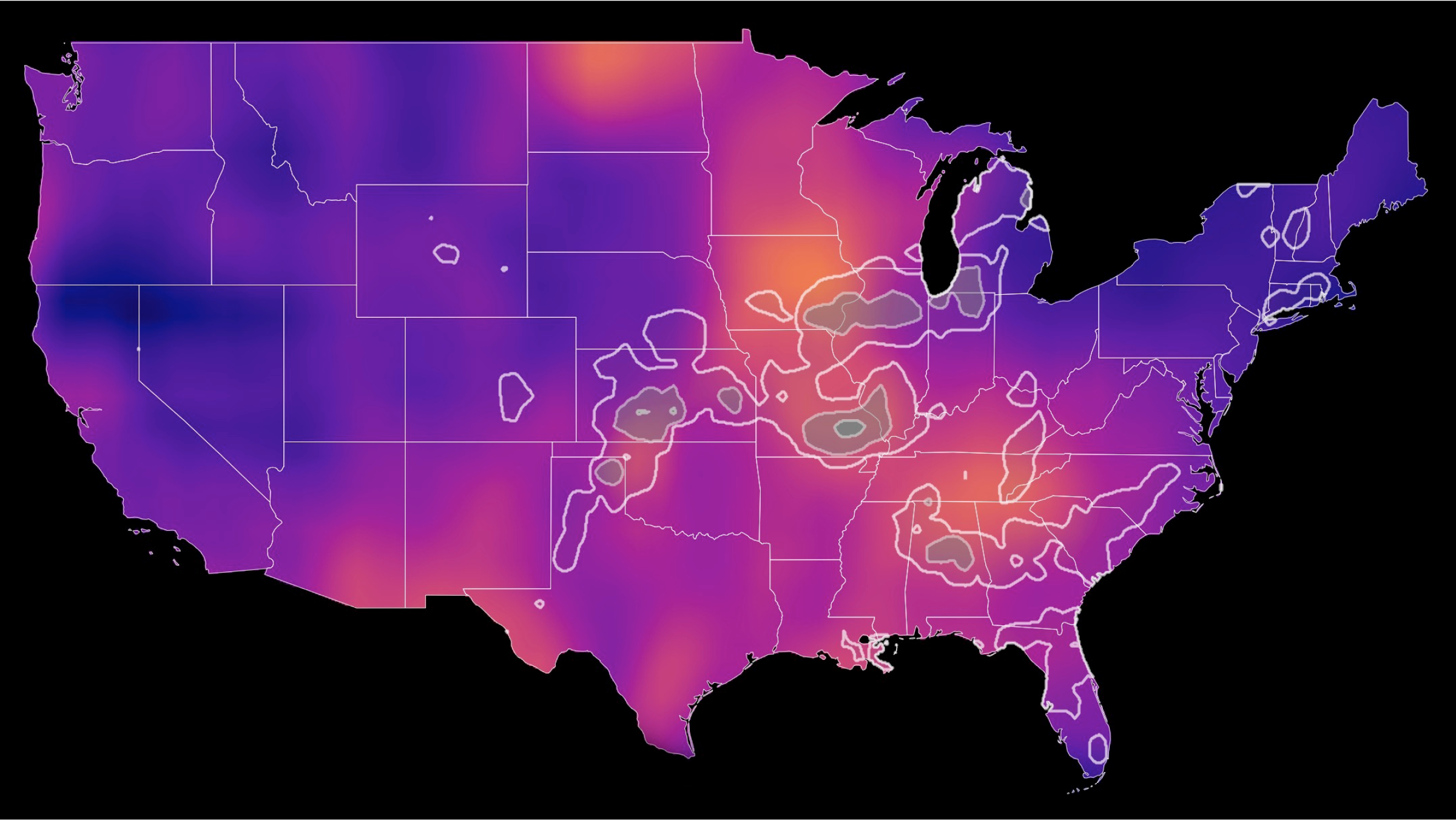
Bird migration forecast maps show predicted nocturnal migration 3 hours after local sunset and are updated every 6 hours. Colorado State University and the Cornell Lab of Ornithology currently produce these forecasts. Learn more
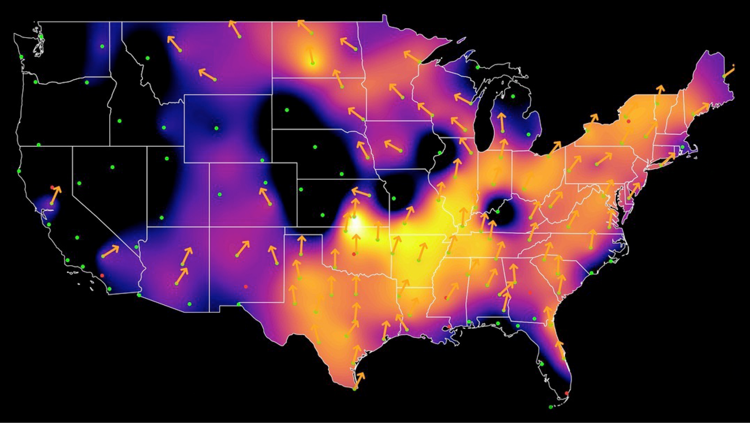
See real-time analysis maps of intensities of actual nocturnal bird migration, as detected by the US weather surveillance radar network between local sunset to sunrise. Cornell Lab of Ornithology currently produces these maps. Learn more
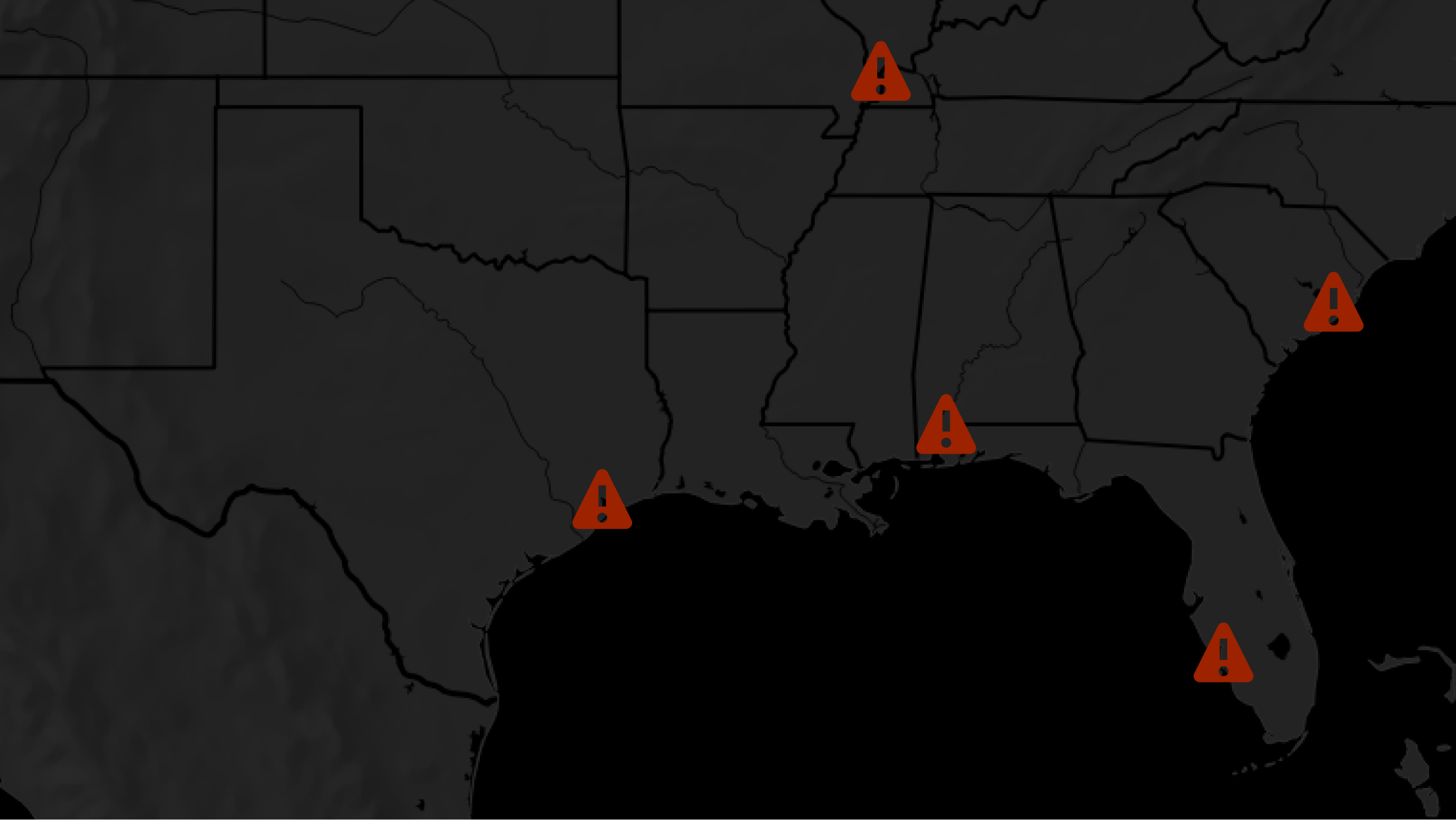
Search with our local migration alert tool to determine whether birds are passing overhead near your city tonight! Learn more
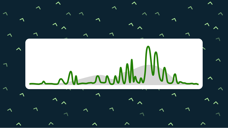
Explore nightly migration data in your region. Learn more
POWERED BY